Chapter 01
Acquisition
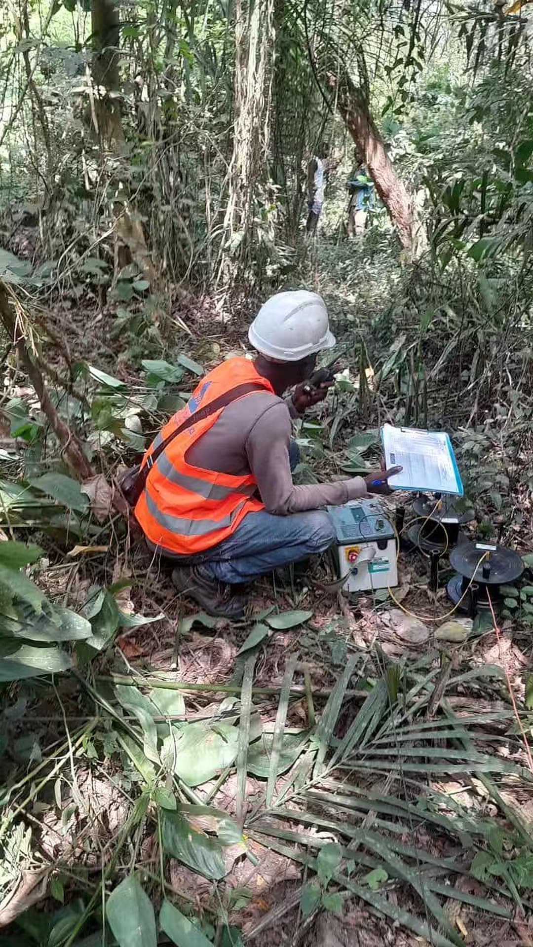
The evidence begins on the survey line
At Tankessé, field observations are recorded with survey geometry, instrument configuration and location context so every later decision can be traced back to how the signal was acquired.
W4A is an open water data and decision-support platform connecting community needs, water services and infrastructure, field science, environmental evidence and trustworthy modelling. Groundwater and drilling intelligence are core capabilities—not the limit of the mission.
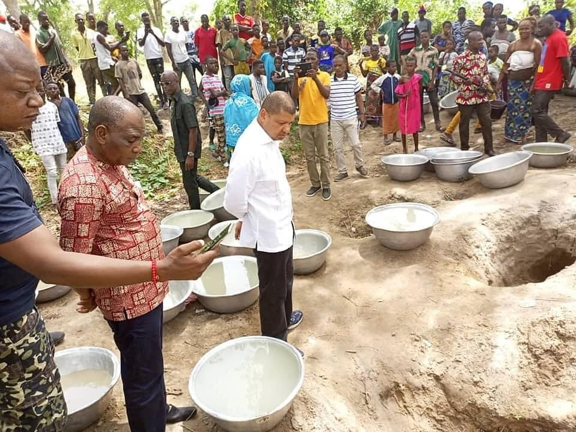
Community water point · daily collection
First pilot node
Côte d’Ivoire
Platform architecture
54 African country nodes prepared
Evidence chain
Observe → Understand → Predict → Validate → Act
Public-data safeguards
Precise locations remain controlled
The decision problem
Communities, technicians and institutions need evidence that connects access and demand, service continuity, water quality, infrastructure, groundwater, climate, field outcomes and uncertainty. W4A is designed to preserve that chain—from the first observation to a governed public decision.
One connected workflow
Water-security decisions become more defensible when access, services, resources, infrastructure, environment, prediction and validation are connected rather than treated as separate projects.
01
Collect and preserve evidence on community access, water points, services, infrastructure, groundwater, water quality, climate and the environment.
02
Harmonize heterogeneous sources, visualize coverage and make provenance and data quality explicit.
03
Develop reproducible, uncertainty-aware models for access stress, future demand, service reliability, resource sustainability and intervention priorities.
04
Connect maps and recommendations to field surveys, drilling, pumping tests and follow-up observations.
05
Turn evidence into usable information for communities, engineers, institutions, researchers and decision-makers.
Public groundwater explorer
Côte d’Ivoire previewPreview the public evidence available through the Côte d’Ivoire pilot node. The complete explorer provides filters, record details and broader navigation.
Public map legend
Public-data safeguard
Only records approved for public release are shown. Coordinates may be generalized.
Coverage represents published evidence density—not groundwater potential or drilling probability.
Understand public-data safeguards →First national pilot node
PilotTest a reusable national-node architecture that connects governed groundwater evidence, field science and privacy-safe public decision support in Côte d’Ivoire.
What exists now
The shared platform foundation, Côte d’Ivoire node, contribution governance, public-data APIs and field-evidence workflow are implemented and under validation.
What remains planned
Broader institutional participation, additional verified datasets, operational deployment and measured impact depend on validation, partnerships and resources.
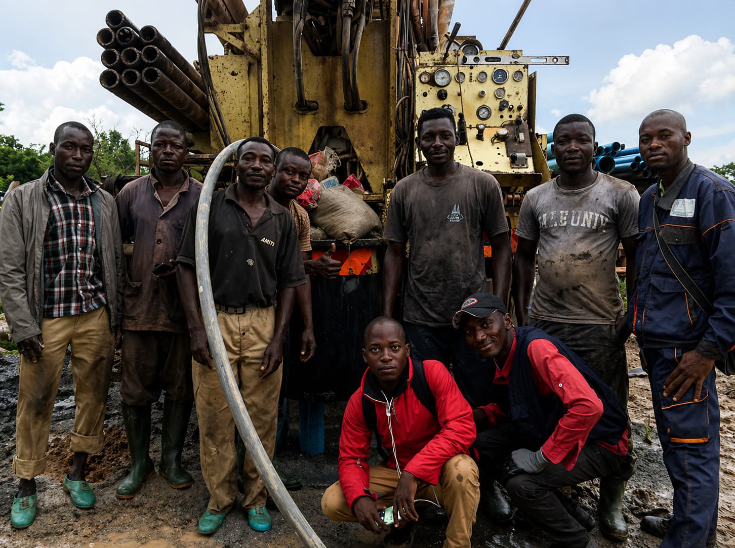
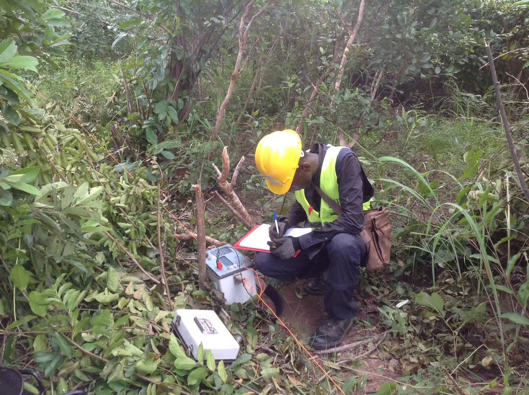
Tankessé field evidence journey
A model is a hypothesis expressed with data—not measured truth. Acquisition records how signals were observed; interpretation states uncertainty; drilling and water outcomes test whether the hypothesis survives contact with the field.
Acquisition
At Tankessé, field observations are recorded with survey geometry, instrument configuration and location context so every later decision can be traced back to how the signal was acquired.
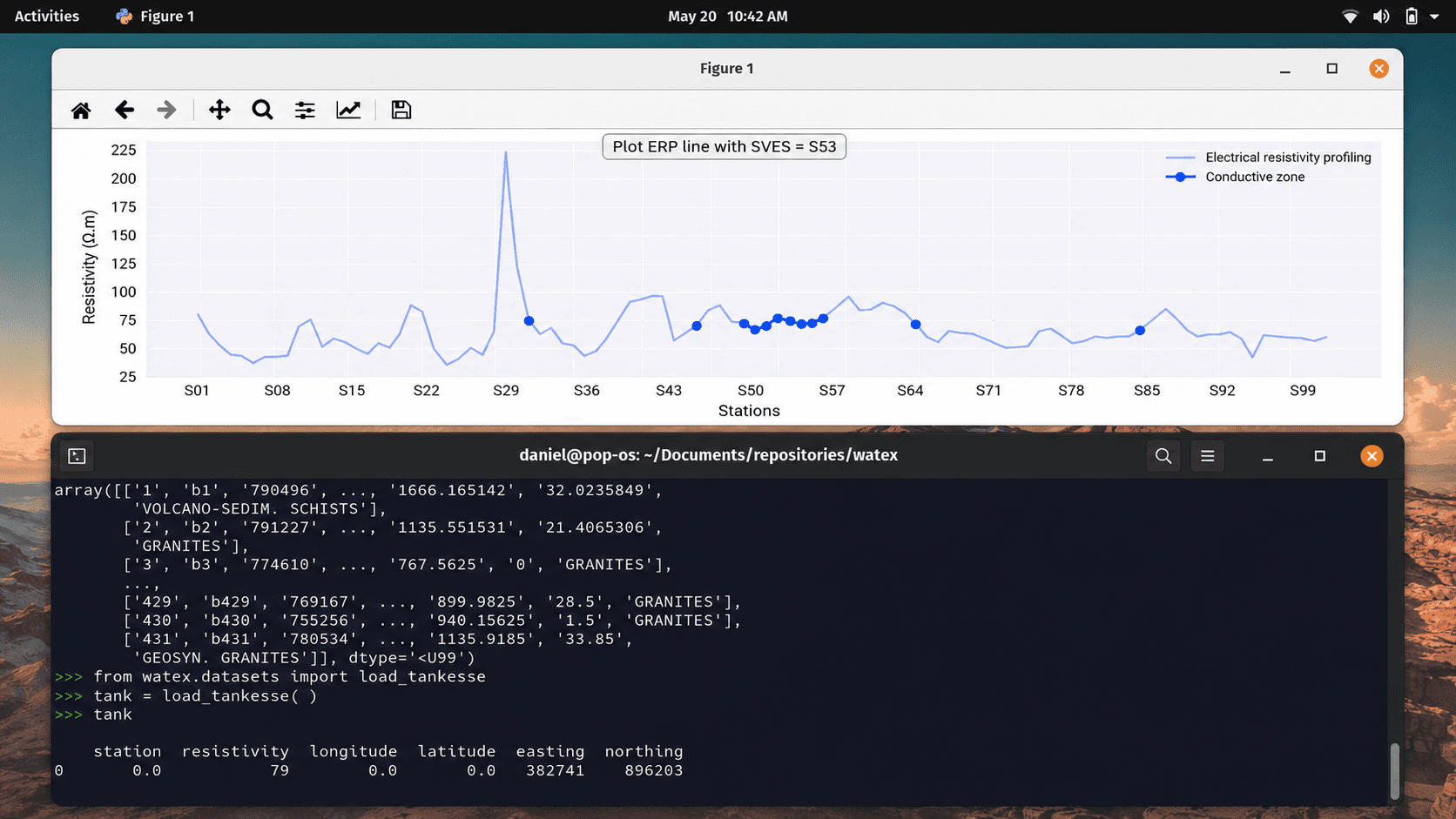
Processing and interpretation
The Tankessé profile is quality-checked and processed to identify responses worth investigating. The interpretation remains connected to the source data, parameters and uncertainty—it is not presented as groundwater truth.
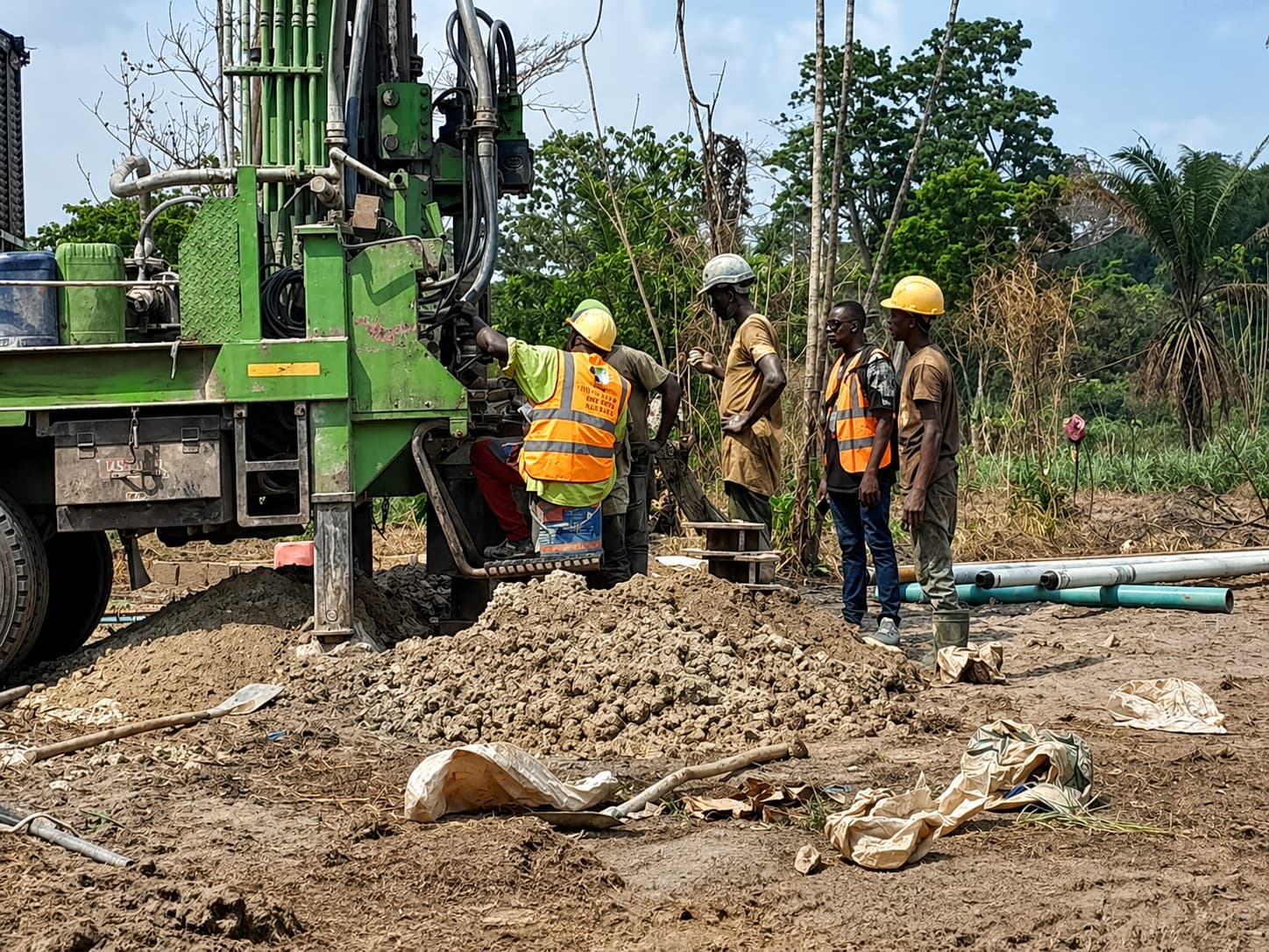
Field test
A selected target becomes a field hypothesis. Drilling records lithology, construction and encountered conditions, including outcomes that differ from the original expectation.
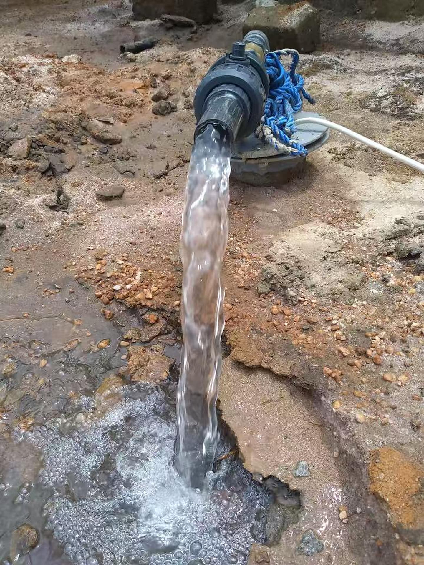
Observed outcome
Observed discharge creates evidence for comparing the interpretation with field performance. Successes and unsuccessful outcomes both remain part of the record for learning and better future decisions.
This sequence documents a scientific workflow. A conductive response can guide investigation, but it is not proof of groundwater; drilling and observed field outcomes provide the validation evidence.
Trust and data governance
The platform is designed around traceable observations, provenance, quality, uncertainty and privacy. AI will support decisions; it will not replace field evidence.
Sources, methods, dates, processing history, licences and review status remain connected to scientific records.
Permission to store a coordinate is not permission to publish it. Public geometry follows explicit consent and governance rules.
Roles, country scope and publication status govern access. Contribution, review, promotion and public release remain separate, auditable decisions.
Ways to participate
Each pathway explains what can be submitted, which evidence is expected and how review protects contributors and scientific integrity.
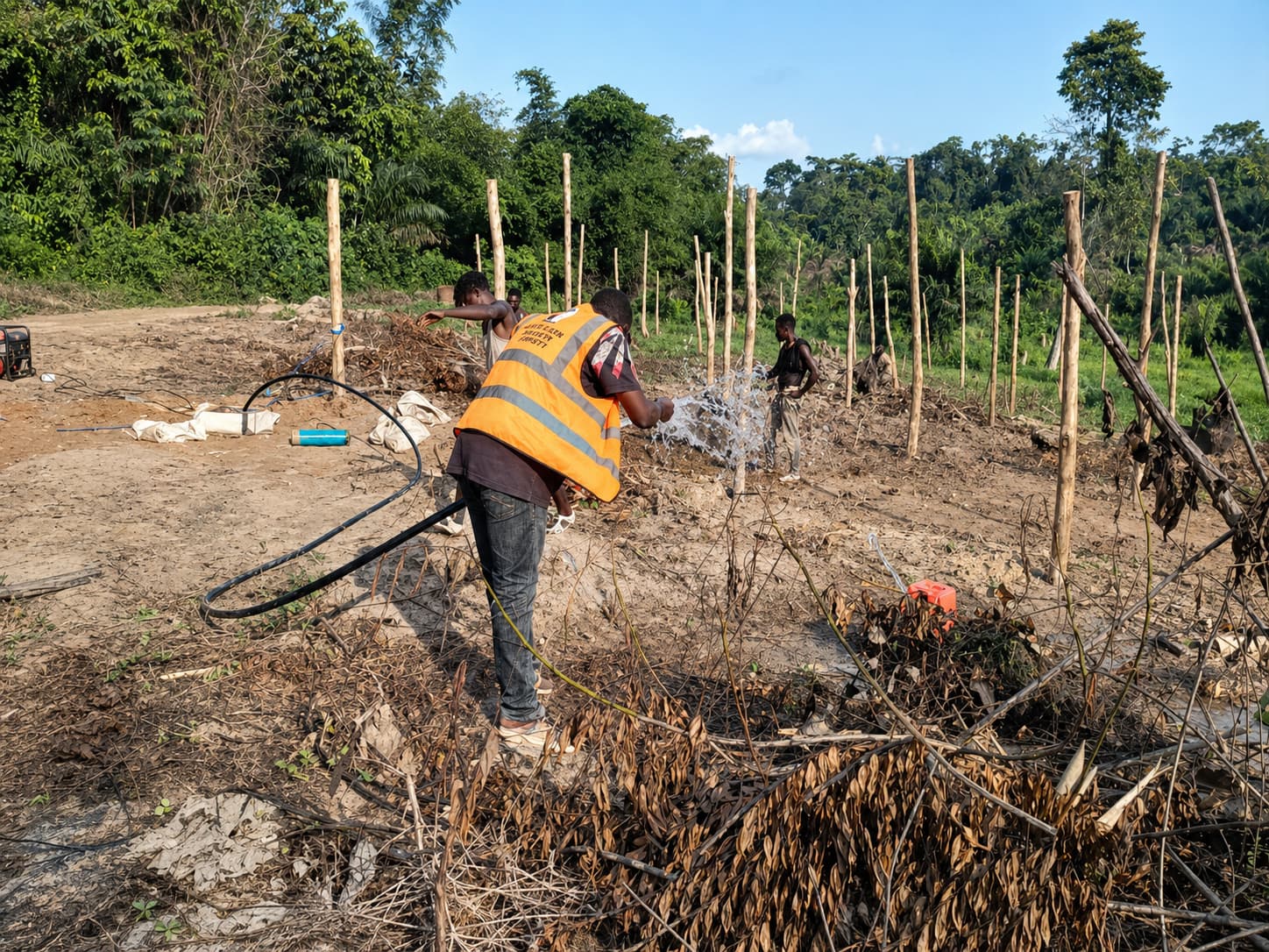
The project W4A currently supports
ANTICIP-EAU-CISubmitted to FPNR 2026The first project W4A supports — an integrated anticipation and decision-support system tested across three pilot localities. Its household and technician questionnaires shaped W4A’s own contribution forms and data model.
Funding status
Submitted to FPNR 2026 (30 September 2026) · no funding award is claimed
Open science and reproducibility
Published resources onlyThe resource catalogue separates available software from publications, protocols, training and reports that remain planned until reviewed and published.
Only reviewed and explicitly published resources appear as available outputs; planned materials remain labelled as planned.
Evidence into action
Explore governed public information or contribute observations that can strengthen the evidence base.