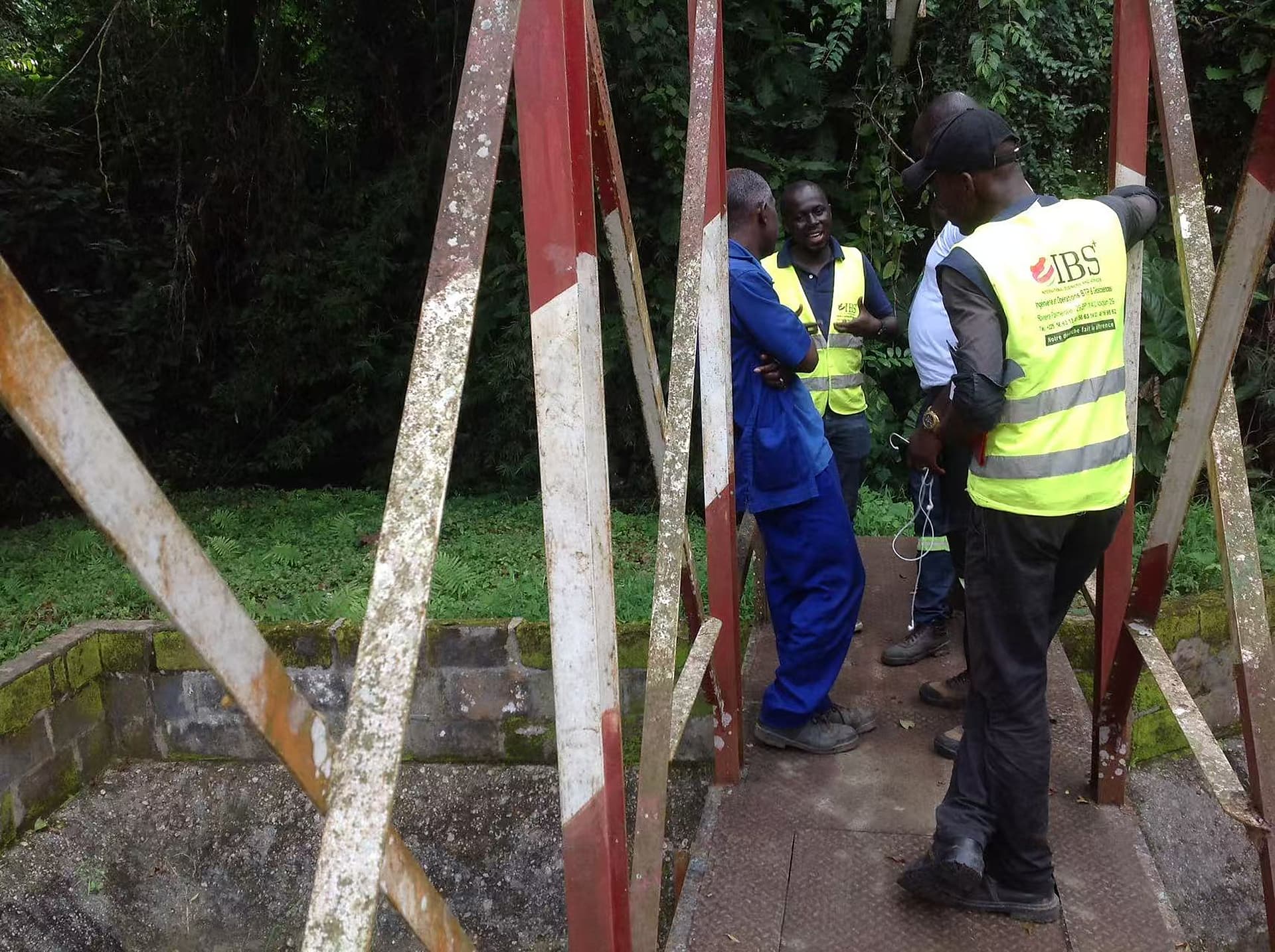
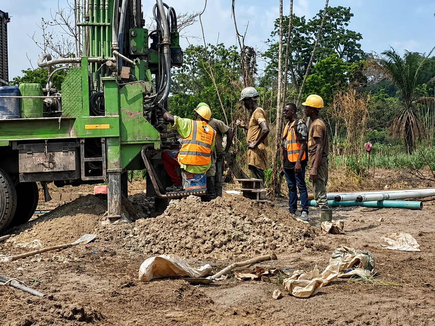
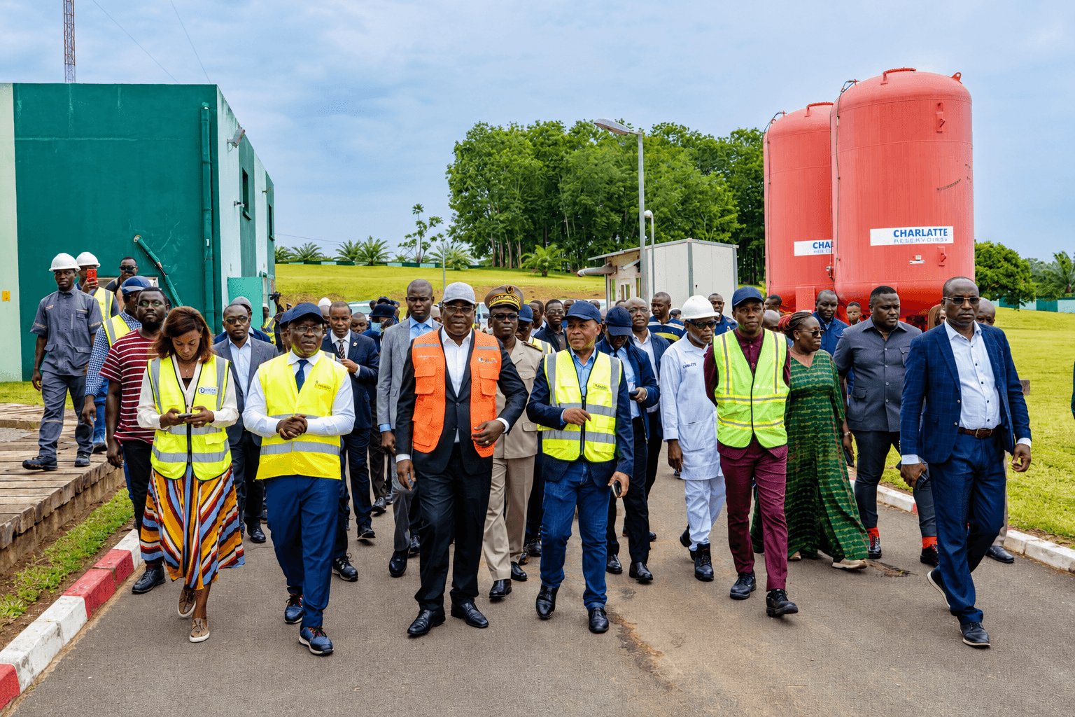
Songon
Peri-urban · Sedimentary basin
A fast-growing area west of Greater Abidjan, heavily dependent on high-yield boreholes and exposed to groundwater-quality pressure from nearby farmland.
First project hosted on WATER4ALL-Africa
An integrated system to identify, understand and rank current and future risks to water supply — connecting household needs, water-point infrastructure, groundwater resources and environmental evidence into one decision-support framework.
Submitted to the FPNR 2026 call on 30 September 2026. No funding award is claimed.
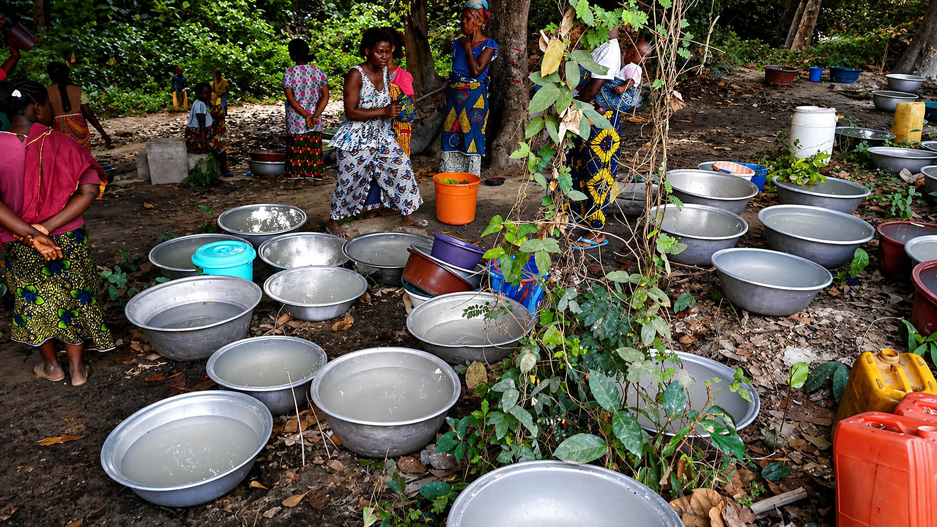
Why anticipate
A community can have a functioning borehole today and face serious strain a few years later — from population growth, rising demand, seasonal variability, breakdowns, ageing equipment, changes in the resource, or water-quality problems. Intervention still tends to start once the difficulty is visible, even though the information needed to anticipate it already exists — scattered across household surveys, water-point inventories, borehole records, hydrogeological measurements, and climate and environmental data. Climate change is likely to sharpen this pressure: by 2050, projections point to 1–4 °C of warming depending on the region, with more irregular rainfall.
The problem in numbers
Investment has widened access, but a working borehole today is no guarantee of a safe, sufficient service in a few years — and the gap is widest where it is hardest to see coming.
Pacte national pour la sécurité de l’eau 2026–2030
Pacte national pour la sécurité de l’eau 2026–2030
JMP estimate (UNICEF / WHO)
INS Côte d’Ivoire, RGPH 2021
General objective
See water-supply shortfall coming — and give decision-makers what they need to act before it does.
Develop and validate an integrated anticipation and decision-support system that identifies, characterises and ranks territories facing a current or future risk of water-supply shortfall — connecting population needs to the capacity of infrastructure and available resources, so decision-makers can act earlier, target investments more precisely, and strengthen the durability of water-supply solutions.
The idea in one picture
When rising needs outpace what infrastructure and resources can supply, a shortfall opens up. The system is built to see that gap coming.
Each objective is one stage of the workflow, and each feeds the next — from a shared evidence base to a protocol other territories can reuse.
Build one harmonised, traceable database for the three pilot localities, covering households, water points, boreholes, water quality, demography, hydrogeology, geophysics, climate and environment.
Develop and validate spatio-temporal models that estimate current vulnerability and supply-tension risk at 1, 3 and 5 years, with explicit uncertainty.
Build a multi-criteria water-priority index and decision maps combining vulnerability, future risk, water quality, infrastructure capacity and data sufficiency.
Test the tools’ operational relevance with end users, then formalise a reproducible protocol for extension to other Ivorian territories.
Three contrasted pilot localities
Chosen to test the approach across a peri-urban–urban–rural gradient and a sedimentary–basement contrast. This working selection may still be adjusted before fieldwork begins, without changing the project’s scientific objectives. A preparatory mission in the first three months will meet local officials in all three localities, formalise contacts and confirm access to data and sites.
Peri-urban · Sedimentary basin
A fast-growing area west of Greater Abidjan, heavily dependent on high-yield boreholes and exposed to groundwater-quality pressure from nearby farmland.

Urban · Basement aquifers
An expanding urban centre where groundwater exploitation depends on weathered and fractured basement rock, testing the approach against growing urban demand.
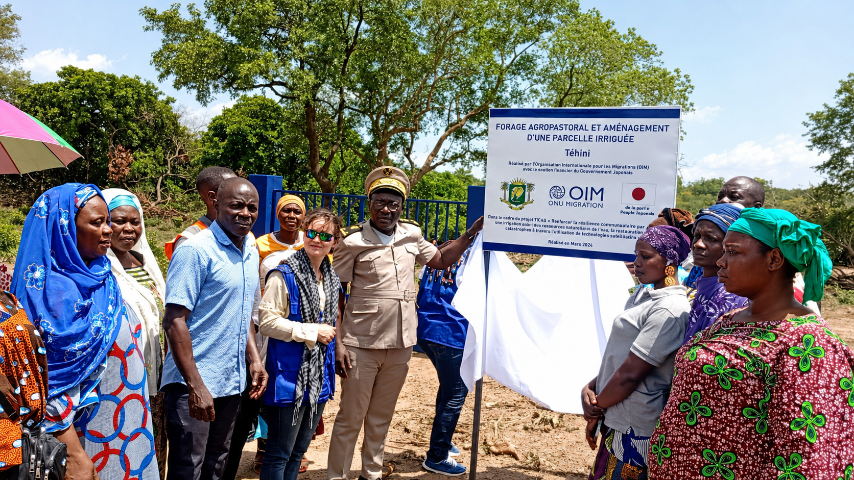
Rural · North-east
A rural area of the Bounkani region, where partial water-service coverage and hydro-climatic variability have been linked to drying sources and borehole malfunctions.
One evidence-to-decision workflow
The methodology follows a single loop, repeated as new observations arrive — rather than a one-off snapshot.
01
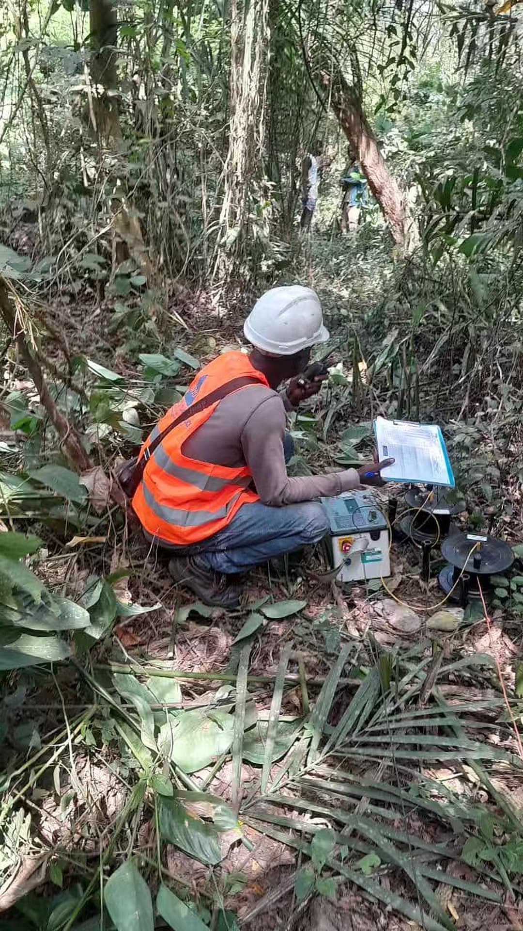
Household and community surveys, water-point and borehole inventories, water quality, hydrogeology, geophysics, climate and environment.
02
Consent and provenance, quality control and units, georeferencing, documented handling of missing values, one spatio-temporal database.
03
Current vulnerability, demand versus capacity, risk at 1, 3 and 5 years, with uncertainty and data-sufficiency reported alongside every estimate.
04
A water-priority index, decision maps, quality-alert signals, and a recommended next observation or action for each territory.
05
Cross-site field checks, workshops with end users, model recalibration, and a reproducible protocol for extension elsewhere.
FPNR 2026 application tracker
The public, verifiable record of the ANTICIP-EAU-CI application to the FPNR 2026 call. Dated steps follow the official calendar automatically; the acknowledgement of receipt, the official result and the funding agreement appear only once officially confirmed.
Current step
Evaluation by three independent experts
18 days left in the official window
Share this link with consortium members — it opens directly on this tracker.
Manual items last checked 5 Oct 2026
30 Sep 2026·Manual confirmation
Full proposal sent electronically to the MESRS before the 30 September 2026 deadline (23:59, Abidjan time).
5 Oct 2026·Manual confirmation
An electronic acknowledgement is sent after receipt; only applications that received one count as properly filed.
4–23 Oct 2026·Official calendar
Each admissible project is reviewed by three independent experts.
2–6 Nov 2026·Official calendar
The Committee examines the expert reports and sets the scientific ranking (one-day session within the window).
9–13 Nov 2026·Official calendar
The Steering Committee (COPIL) sets the final list of projects retained for funding (one-day session within the window).
After the decision·Manual confirmation
Final results are published by the MESRS and notified to the coordinating institutions.
No date set·Manual confirmation
A funding agreement is signed between the MESRS and the coordinating institution.
If selected, this record continues into the project itself
Source: FPNR 2026 call for proposals (§6.4, §7, §9). The MESRS reserves the right to change the calendar. Only public information appears here — no correspondence, evaluations or internal notes. No funding award is claimed before an official decision.
A three-year work plan
The design phase is complete. Field and modelling stages are planned to begin once the project moves into deployment, and will be updated here as they progress.
Design phase
CompleteObjectives, methodology, pilot-locality selection, work plan and budget prepared for and submitted to the FPNR 2026 call (30 September 2026).
M1 – M18
PlannedProtocols and ethics clearance, baseline household and water-point surveys across the three pilot localities, a seasonal revisit, and one harmonised evidence base.
M7 – M24
PlannedSpatio-temporal models estimating current vulnerability and supply-tension risk at 1, 3 and 5 years, validated across sites with explicit uncertainty.
M13 – M30
PlannedCalibration of the Water-Priority Index, decision maps and a first decision-support prototype for institutional users.
M19 – M36
PlannedCross-site validation, workshops with end users, model recalibration, and a reproducible protocol for extension to other Ivorian territories.
Expected outputs
Verifiable products, not promotional claims — each tied to a pilot locality and a stage of the workflow above.
01 · A structured, harmonised evidence base
Field records, boreholes and prior studies consolidated onto one comparable grid across the three pilot localities.
Consortium
The institutions named in the submitted proposal, and the role each one holds in it.
 Coordinating institution
INP-HB
Institut National Polytechnique Félix Houphouët-Boigny
Yamoussoukro
 Academic partner
UFHB
Université Félix Houphouët-Boigny
Abidjan
 Academic partner
UVCI
Université Virtuelle de Côte d’Ivoire
Abidjan
 Academic partner
UJLoG
Université Jean Lorougnon Guédé
Daloa
 Main institutional end user
ONEP
Office National de l’Eau Potable
Abidjan
 Associated scientific partner
CIRAD
Centre de coopération internationale en recherche agronomique pour le développement
Through an associated external researcher: Dr Fabrice Blanchard ALLECHY (MOPGA postdoctoral researcher at CIRAD).
Montpellier, France
Project team
Researchers across geophysics, hydrogeology, water quality, hydroclimate, structural geology and sociology, working alongside institutional advisers at ONEP. Select anyone to open their full profile.
Guest contributors
Outside the consortium named in the proposal, with no work-package responsibility — consulted occasionally for specific expertise.
How WATER4ALL-Africa supports this project
ANTICIP-EAU-CI is the first project WATER4ALL-Africa supports — its household and technician questionnaires shaped the platform’s own community and technician contribution forms, and its data model shaped W4A’s core schema. In return, W4A provides the governed digital infrastructure the project uses to manage its work: structured and consented data collection, quality control, traceability, mapping and the controlled restitution of validated results. Over the project’s 36 months, W4A’s PostgreSQL/PostGIS database is planned to hold the geospatial records of water points, boreholes, infrastructure and territories, with access control and backups. W4A is infrastructure, not the research itself, and the project’s methods, models and findings remain independent results, evaluable on their own terms.
Governed collection, with consent recorded at the source
Provenance and quality control stay attached to every record
Controlled, privacy-safe restitution of validated results only


Submitted to
The FPNR 2026 call (Fonds des Programmes Nationaux de Recherche), administered by Côte d’Ivoire’s Ministère de l’Enseignement Supérieur et de la Recherche Scientifique (MESRS). No funding award is claimed.
Proposal status
Submitted to the FPNR 2026 call on 30 September 2026. No funding award is claimed.
ANTICIP-EAU-CI has been fully designed — objectives, methodology, pilot localities, work plan and budget — and the final proposal was submitted to the FPNR 2026 call on 30 September 2026. No funding award or institutional mandate is claimed until an official decision exists. Pilot localities, objectives and the schedule above are the working basis and will be confirmed as the project moves into deployment.